
More rain in the Canary Islands this week
- Oasis FM
- 05-05-2025
- Local News
- Photo Credit: Windy.com
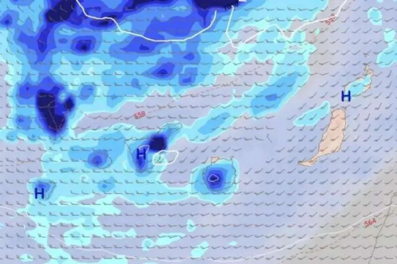
The Canary Islands are once again preparing for a week where rain takes centre stage, continuing a weather pattern that has defined much of 2025 so far. While the early days of the week will bring only scattered, light showers, a stronger Atlantic front could bring significant rainfall at the end of the week and over the weekend, according to the European Centre for Medium-Range Weather Forecasts (ECMWF).
Although the rainfall is not expected to be extreme or long-lasting, it reinforces the perception that this year has been notably cooler and wetter than 2024.
Weather Outlook: A Day-by-Day Forecast
MONDAY:
Expect cloudy skies due to mid and high-level cloud cover, with lower clouds more common during the night in the northern slopes, particularly in Tenerife and the western islands. Temperatures will remain stable. Northeasterly winds will blow light to moderate, turning strong at high altitudes in Tenerife later in the day.
TUESDAY:
Cloudy with possible light, occasional rain, especially in the eastern islands and Tenerife during the morning. Skies will begin to clear from midday, particularly over Lanzarote and Fuerteventura. Slight temperature rise possible. Light easterly winds, turning westerly by evening in western islands. Moderate to strong southwesterly winds in central Tenerife peaks.
WEDNESDAY:
Clouds will increase on the eastern slopes of the more mountainous islands by the afternoon, with a chance of occasional showers, especially in La Palma early in the day. Lanzarote and Fuerteventura will remain mostly sunny. Minimum temperatures will drop slightly. Westerly winds will strengthen, becoming strong in central Tenerife highlands with very strong gusts possible.
THURSDAY:
Partly cloudy with afternoon cloud build-up on eastern slopes, where light, scattered rain may occur. Some brief showers also expected on the western sides of the larger islands in the morning and at night. Temperatures largely unchanged. Light to moderate westerly winds, strong on Tenerife summits, with sea breezes along eastern coasts.
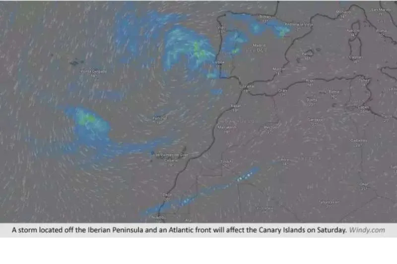
Weekend Front Brings Uncertainty and Potential Downpours
Looking ahead to the weekend, a front moving in from the Atlantic, carried by westerly winds, could impact the Canary Islands, particularly on Saturday and to a lesser extent on Sunday. While the forecast remains uncertain, models currently show the highest rainfall in the interior and eastern slopes of Tenerife, central Gran Canaria, eastern La Palma, and western Lanzarote and Fuerteventura.
This follows a trend of several Atlantic fronts brushing the archipelago in recent weeks, a rare but welcome source of water for many local ecosystems, and a reminder that the Canary Islands’ microclimates are just as dynamic as their landscapes.

trending